

Live Earth Map: GPS Navigation
Use LDPlayer to Play Live Earth Map: GPS Navigation on PC
Live Earth Map: GPS Navigation is a Maps&Navigation application developed by Seeda Lyara Apps, but with the best Android emulator-LDPlayer, you can download and play Live Earth Map: GPS Navigation on your computer.
Running Live Earth Map: GPS Navigation on your computer allows you to browse clearly on a large screen, and controlling the application with a mouse and keyboard is much faster than using touchscreen, all while never having to worry about device battery issues.
With multi-instance and synchronization features, you can even run multiple applications and accounts on your PC.
And file sharing makes sharing images, videos, and files incredibly easy.
Download Live Earth Map: GPS Navigation and run it on your PC. Enjoy the large screen and high-definition quality on your PC!
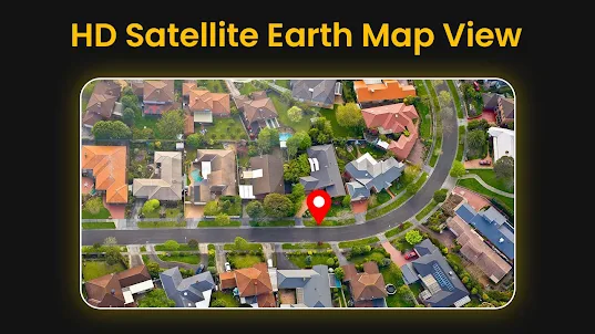
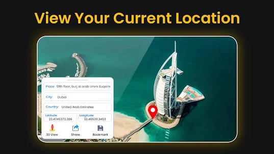
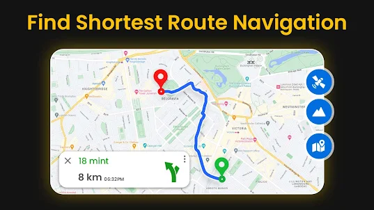
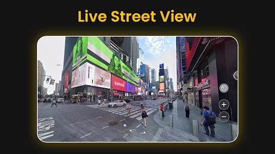
Screenshots and Videos of Live Earth Map: GPS Navigation on PC
Why Play Live Earth Map: GPS Navigation on PC with LDPlayer?
How to Download Live Earth Map: GPS Navigation on PC?
Download and install LDPlayer on your computer
Locate the Play Store in LDPlayer's system apps, launch it, and sign in to your Google account
Enter "Live Earth Map: GPS Navigation" into the search bar and search for it
Choose and install Live Earth Map: GPS Navigation from the search results
Once the download and installation are complete, return to the LDPlayer home screen
Click on the game icon on the LDPlayer home screen to start enjoying the exciting game
If you've already downloaded the APK file from another source, simply open LDPlayer and drag the APK file directly into the emulator.
If you've downloaded an XAPK file from another source, please refer to the tutorial for installation instructions.
If you've obtained both an APK file and OBB data from another source, please refer to the tutorial for installation instructions.
As I suspected, this is not only NOT a "live" view, the map I saw wasn't even current (as in, at least 14 months old). Also, too many intrusive ads. Upgrade may be ok if offered, but when a free version is so ad-burdened, I won't buy a paid version because how can I experience it without paying and risking disappointment and wasted money? Better to have fully functional with time limit and option for (1) Free with ads or (2) pay to keep what you've already experienced.
The satellite map is useful to some extent, particularly if you wish to gain a perspective of the area. For this it is very useful & beneficial The weaknesses 1. It is not known if the satellite image is the latest or 1 month or 6 months old. Perhaps Google should show a date stamp alongside the satellite image. 2. The resolution could be improved a bit more. Currently, the image of a car is not sharp enough. 3. Through no fault of Google images can be covere by foliage.
Don't bother, it's Just a Shortcut to Google Maps. Uses their Maps and when planning anything and everything.